TL;DR
Arctic air is locking much of the Eastern U.S. into a deep freeze while forecasters track a coastal storm that could bring heavy snow, strong winds and life-threatening cold from the Carolinas to the Northeast this weekend.
Why This Matters
The latest update from forecasters points to a one-two punch for the Eastern half of the United States: a prolonged blast of Arctic air and a developing coastal storm that could grow into a major winter system. Together, they may deliver the longest run of subfreezing temperatures the East and Southeast have seen in decades, according to the National Weather Service (NWS).
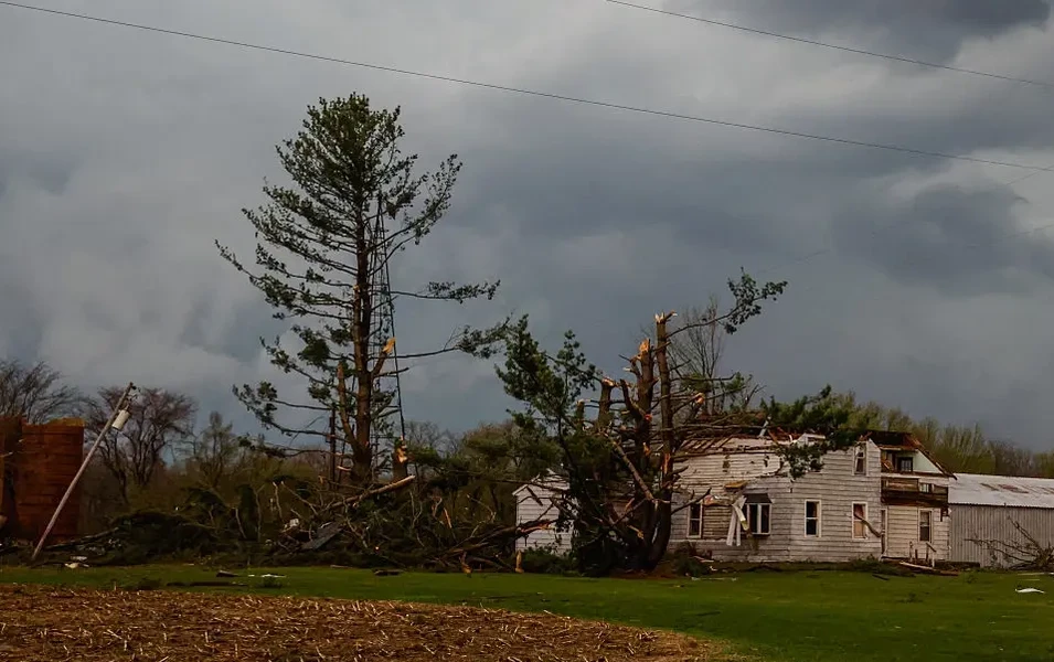
This pattern raises risks on several fronts. Very low temperatures and strong winds can create dangerous wind chills, strain power grids and complicate recovery in communities still dealing with outages from last weekend’s deadly storm. Snow and ice on top of already frozen ground can quickly make roads impassable and slow emergency response.
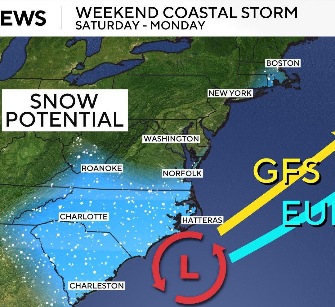
The storm’s precise track remains uncertain, but even small shifts east or west could decide whether major cities along the Interstate 95 corridor see mostly wind and coastal flooding, or a new round of heavy, wet snow. For older adults, families with young children and people with limited heating options, what it means is simple: a few degrees and a few miles could make a big difference in safety and comfort over the coming days.
Key Facts & Quotes
Forecasters expect a coastal low-pressure system to form off the Carolinas on Friday, based on current weather models. As it turns north, some models keep the center of the storm farther offshore, which would push most of the snow out to sea. Others tilt the track closer to land, raising the odds of heavier snow and stronger winds along parts of the Mid-Atlantic and Northeast.
Meteorologists are increasingly confident that southern Mid-Atlantic areas, the Carolinas and the Southern Appalachians will see snow. Some locations in Virginia and the Carolinas could receive heavy accumulations, with forecasts in some spots calling for up to 16 inches. In those areas, forecasters warn of near-blizzard conditions, with “sharply reduced visibilities” and conditions “making travel extremely treacherous,” according to a recent forecast discussion.

Winter storm warnings and watches are in effect for parts of the Carolinas, Georgia, Illinois, Massachusetts, Tennessee, Virginia and West Virginia, the NWS said. Many of these alerts extend into Sunday.
Strong winds are a major concern. An NWS office in coastal North Carolina is warning residents to brace for gusts up to 65 mph, with a broader NWS bulletin noting the storm “will produce powerful onshore winds along the Mid-Atlantic Coast from the North Carolina Outer Banks northward,” bringing a risk of coastal flooding.
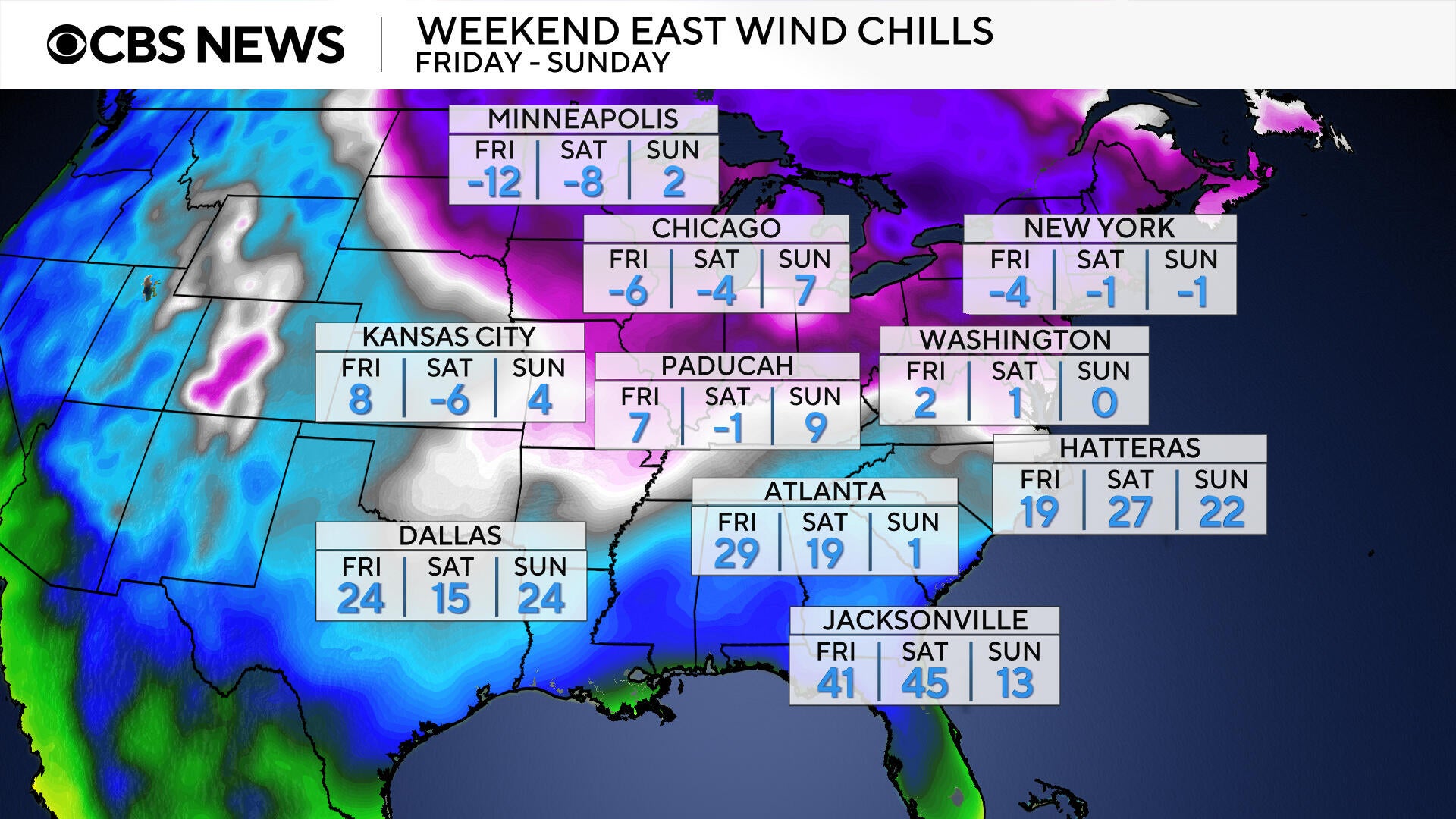
At the same time, an influx of Arctic air dropping south from Canada is driving temperatures below freezing across much of the East. Record or near-record lows are possible Friday morning in cities including Baltimore, Buffalo, New York City, Philadelphia and Pittsburgh. Combined with the developing storm, this will create wind chills well below zero in parts of the East and South, including areas already hit by power outages.
Some forecasters are also watching for signs that the system could undergo “bombogenesis,” rapidly intensifying into what is commonly called a “bomb cyclone” if pressure falls quickly enough over 24 hours. Meteorologist Nikki Nolan, in an analysis of the latest computer models, said conditions this weekend appear favorable for that process but stressed that rapid intensification is not guaranteed and depends in part on how far offshore the system tracks.
A storm will rapidly strengthen along the East Coast this weekend, delivering heavy snow from the Carolinas to New England, with blizzard conditions likely in the hardest-hit areas. https://t.co/asY2OfBr1s pic.twitter.com/TisvJX5FL4
— AccuWeather (@accuweather) January 29, 2026
What It Means for You
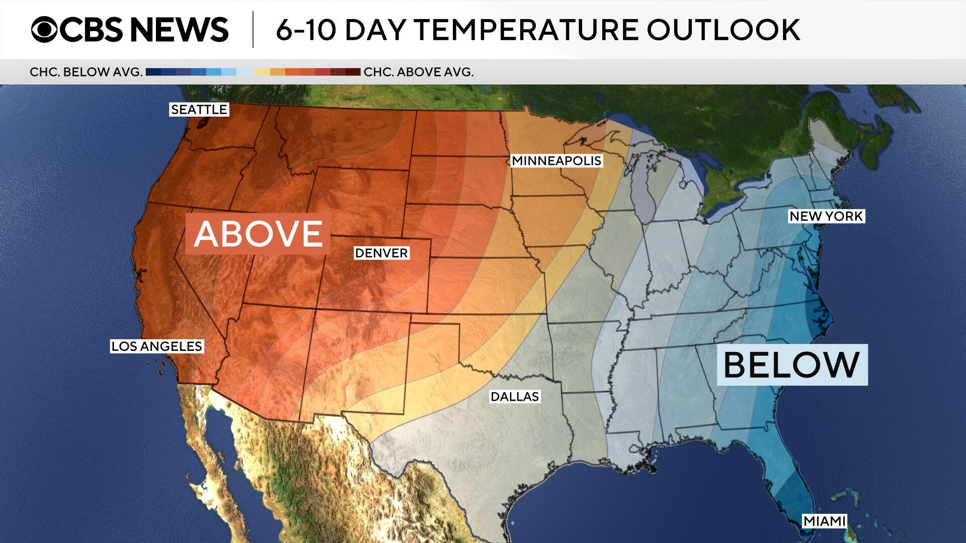
For residents along the East Coast and in the eastern half of the country, the immediate impact is clear: expect bitter cold and, in many areas, hazardous winter weather through the weekend and likely into early February. Even if the heaviest snow stays offshore, strong onshore winds and dangerous wind chills can make travel, outdoor work and even brief errands risky, especially for older adults or people with heart or lung conditions.
People in regions under winter storm watches and warnings should monitor local forecasts closely, limit nonessential travel when conditions worsen and have supplies ready in case of power outages. That includes layered clothing, blankets, any necessary medications and a plan to check on neighbors who may need help. Looking ahead, forecasters say the overall pattern of below-normal temperatures in the East is likely to persist for several days, so preparation now could ease the impact of more cold waves or storms that follow.
How are you and your community planning to handle the combination of extreme cold and a possible coastal storm this weekend?
Sources
- National Weather Service public forecasts, bulletins and outlooks for the Eastern U.S., issued Jan. 29-30, 2026.
- Forecast analysis and model graphics by meteorologist Nikki Nolan, published Jan. 29-30, 2026.